Results [0]
Monier Road
A characterful, mixed-use scheme that embodies the spirit of Hackney Wick.
Status: In progress
Location: Hackney Wick, London
Collaborators
Concept architect dRMMLandscape design Spacehub
Structural engineers CNM
Planning consultant CMA
MEP Engineers Pinnacle
Environmental consultant Environmental Economics
Transport consultant Ardent
Daylight consultant Point 2
Fire consultant FDS
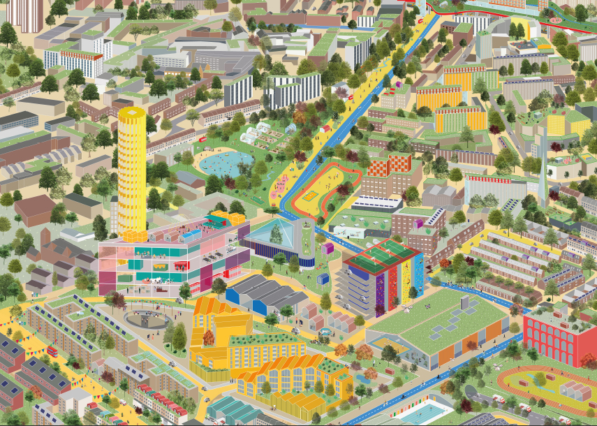
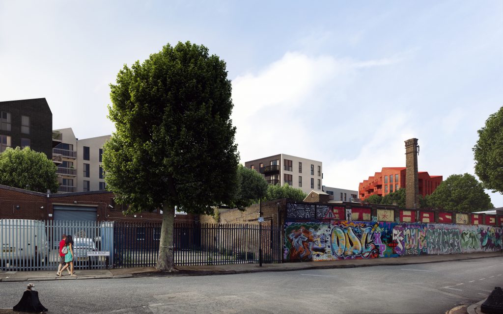
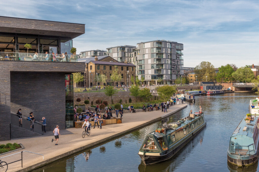
Hackney Wick’s Fish Island is a fascinating area of East London, defined by its position as a strategic crossing point on the River Lea, linking London and Essex. Not a real island at all, but a triangular plot of land with water on two sides, its name comes from its fishy street names, such as Bream Street and Roach Road.
Collaborators
Concept architect dRMMLandscape design Spacehub
Structural engineers CNM
Planning consultant CMA
MEP Engineers Pinnacle
Environmental consultant Environmental Economics
Transport consultant Ardent
Daylight consultant Point 2
Fire consultant FDS
The principal challenge of the project was how to maintain the character of the area while balancing the volume of employment space required by LLDC with the amount of residential space required for viability.
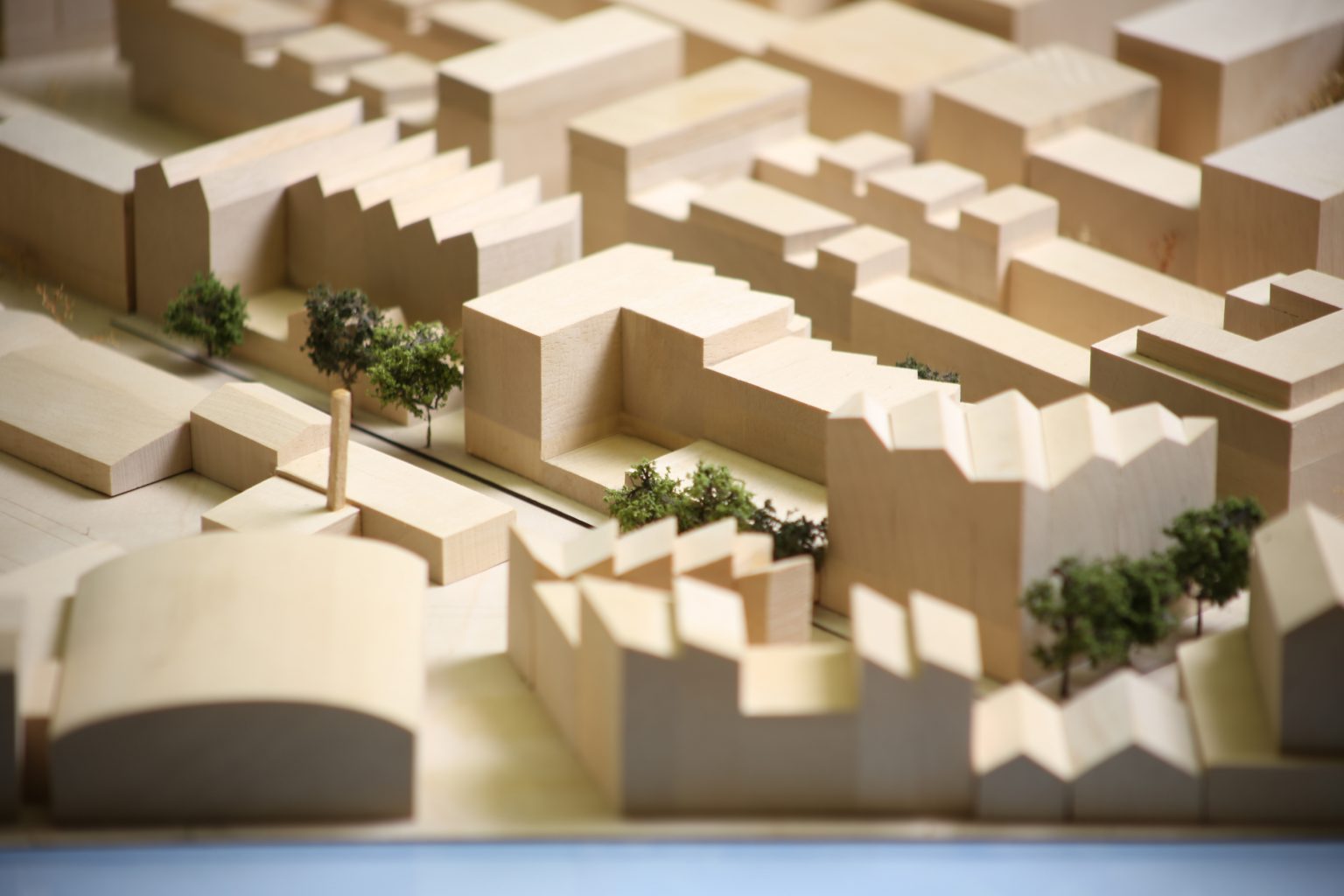
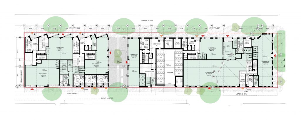
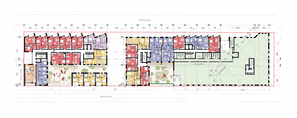
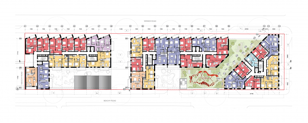
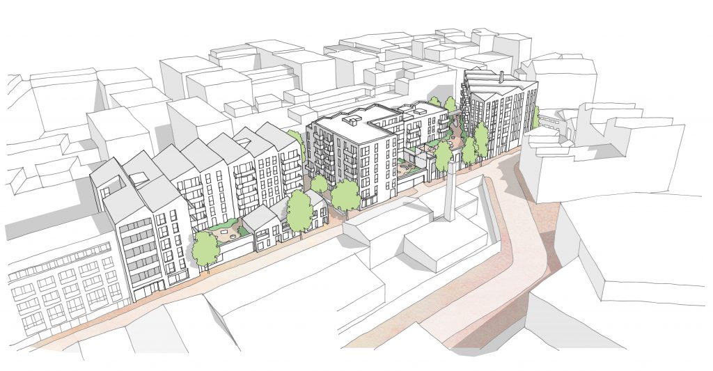
Our solution was to reject the ubiquitous ‘pancake’ commercial spaces found below residential developments, which are often left un-let, and instead spread a variety of uses across the site. The design therefore comprises three buildings, each with its own individual character but together forming a cohesive whole.
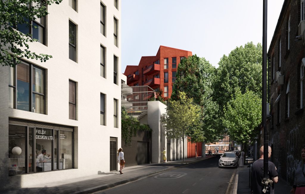
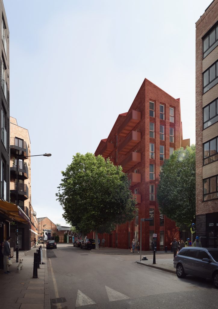
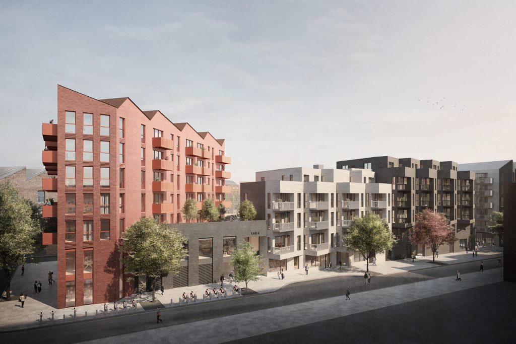
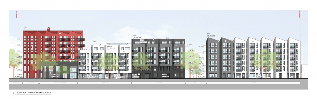
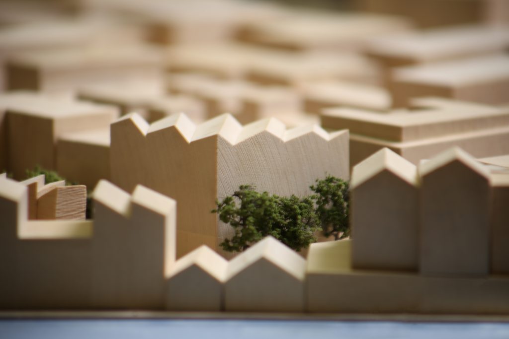
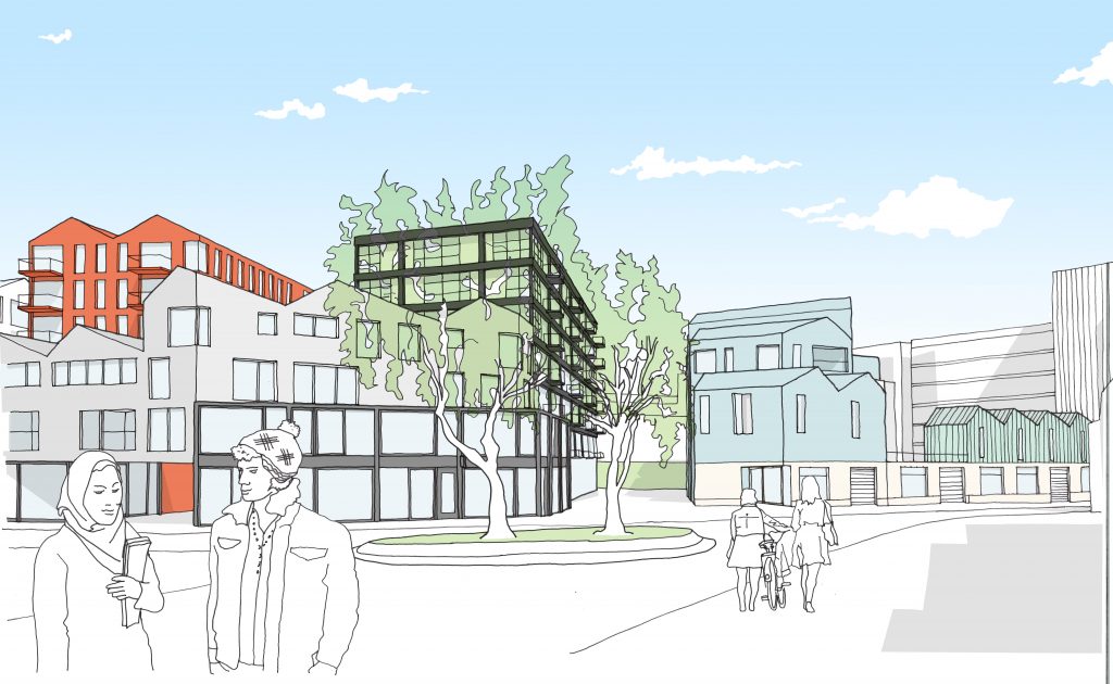
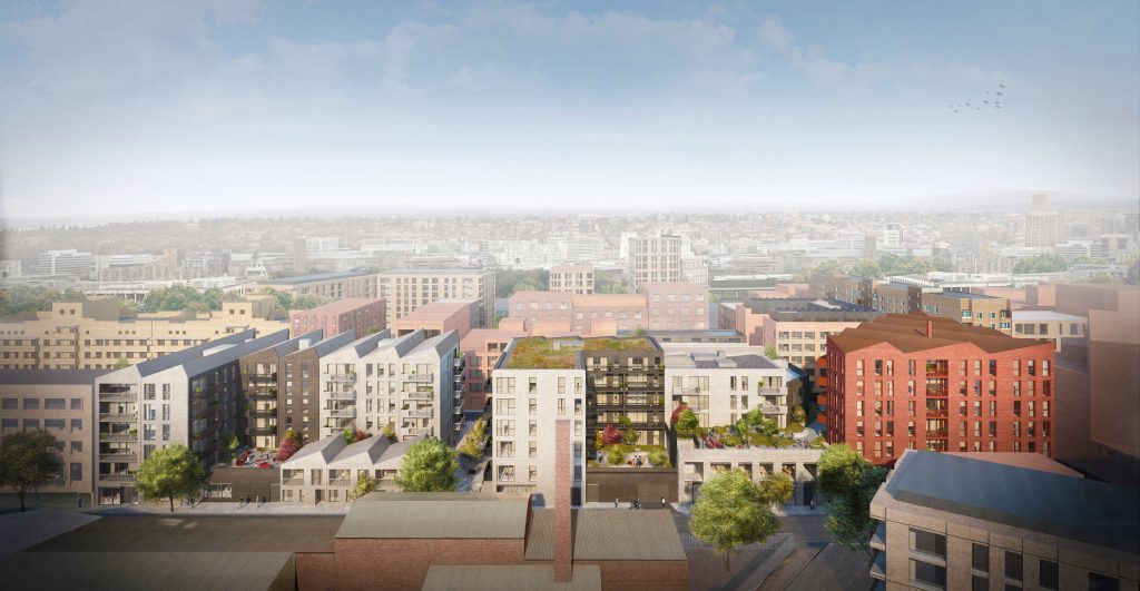
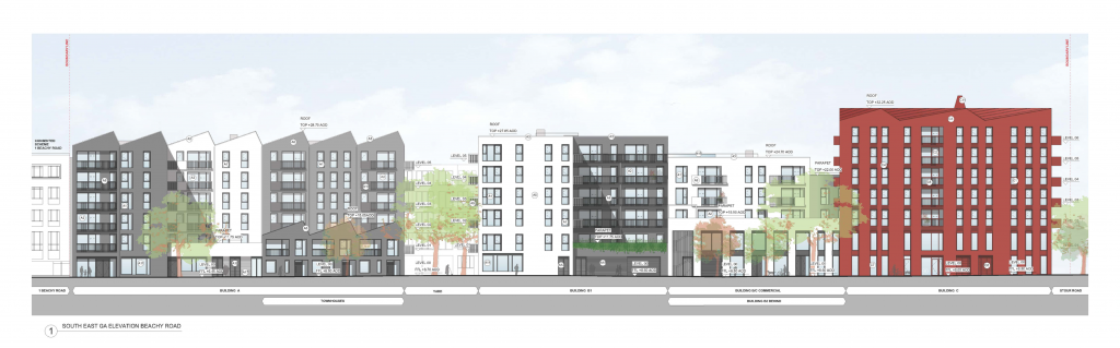
A triangular seven-storey apartment building in red brick anchors the site on its eastern edge and reconciles the difference in heights and character between the Fish Island Conservation Area to the south and the new-build residential developments to the north. A two-storey base of creative studio spaces provides further activation at street level, while townhouses and elevated podium gardens maintain a low edge along Beachy Road, responding sympathetically to the adjacent historic piano factory. Terraced four to five storey apartment buildings form a backdrop to the generous, south-facing communal gardens and define a strong street edge along Monier Road.
This mixture of architectural characters and articulated roofscapes (such as the saw-toothed residential facades, which also maximise light inside) echo the language of the local area. And the simple, material palette of three coloured bricks of varying textures contrast with each other when they meet at critical corners and skilfully respond to the area’s mix of historic and new buildings.
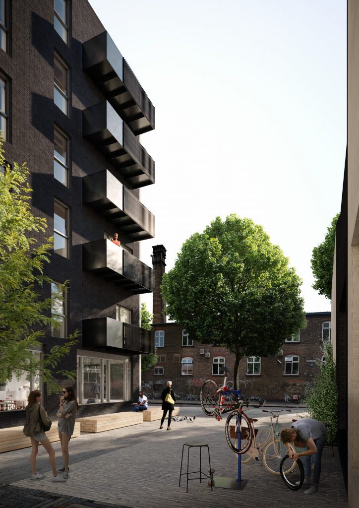
To maintain the mixed industrial character of the area, the commercial units incorporate creative, maker, commercial, affordable and light industrial spaces
To ensure the diverse population continues, 35 per cent of the units offer a mixture of shared ownership and affordable rent tenures. Overall, it is this social mix – of integrated live and work spaces – that responds to the social fabric of Fish Island by establishing a rich mix of living, creative, work and leisure space.

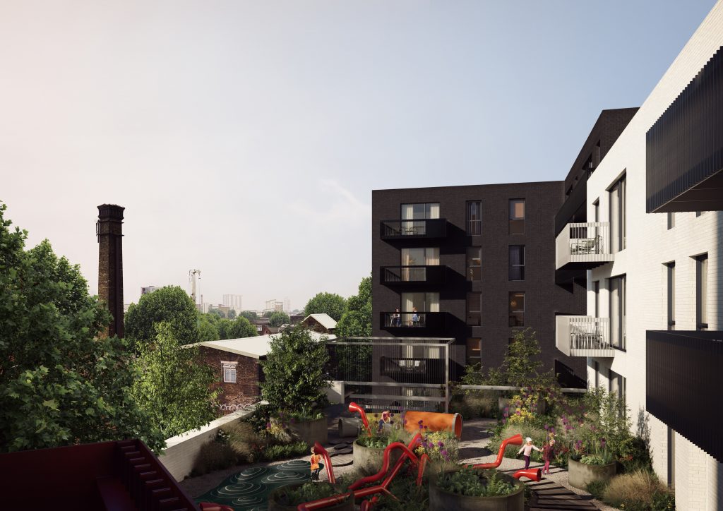
The development is only a stone’s throw from the River Lea and the open spaces of the Olympic Park to the south, but it works hard to provide outdoor space for residents by creating a large, communal garden, open to everyone on the site, regardless of tenure.
This green space sits on a podium above the townhouses and workspaces and offers precious green space to an otherwise dense urban site. In addition, the site currently has a number of London Plane Trees along its boundary, which is unusual for the area; something that the scheme acknowledges with openings and alignments that allow space for the trees to flourish. The trees along Beachy Road will offer shade and a shelter to residents on the elevated podium gardens. A historic link in the middle of the site has been reinstated, offering improved connectivity for the community and informal spill-out space for the commercial uses.
Mixed-used and densely urban, green and sociable, our hope is that the Monier road development creates a unique space for people to enjoy Fish Island and that it continues a tradition of living and working in the same area that is fundamental to the future success of London.